Hollowstone and St Mary's churchyard wall
Introduction
The photograph on this page of Hollowstone and St Mary's churchyard wall by John Sutton as part of the Geograph project.
The Geograph project started in 2005 with the aim of publishing, organising and preserving representative images for every square kilometre of Great Britain, Ireland and the Isle of Man.

There are currently over 7.5m images from over 14,400 individuals and you can help contribute to the project by visiting https://www.geograph.org.uk
Hollowstone and St Mary's churchyard wall
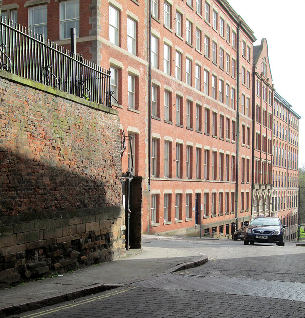
Image: © John Sutton Taken: 30 Apr 2013
The churchyard is to the left, at a higher level than High Pavement. The gradients of this coach and waggon route out of the city were eased in the 18th century. The tall warehouses on Hollowstone are typical of The Lace Market. For more on the history of Hollowstone, see http://www.nottshistory.org.uk/articles/tts/tts1927/itinerary1927p1.htm and http://www.nottshistory.org.uk/articles/tts/tts1927/itinerary1927p2.htm .
Images are licensed for reuse under creativecommons.org/licenses/by-sa/2.0
Image Location
Latitude
52.95122
Longitude
-1.141761