Access road near Harry Ottley Plantation, Goldthorpe
Introduction
The photograph on this page of Access road near Harry Ottley Plantation, Goldthorpe by Robert Neilson as part of the Geograph project.
The Geograph project started in 2005 with the aim of publishing, organising and preserving representative images for every square kilometre of Great Britain, Ireland and the Isle of Man.

There are currently over 7.5m images from over 14,400 individuals and you can help contribute to the project by visiting https://www.geograph.org.uk
Access road near Harry Ottley Plantation, Goldthorpe
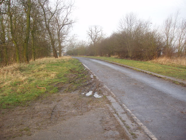
Image: © Robert Neilson Taken: 20 Feb 2007
This field access road was formerly part of the A635 road from Barnsley to Doncaster, just to the East of the former mining village of Goldthorpe. When the Dearne Valley Parkway was constructed to improve sections of the A635, one of the places it by-passed was Goldthorpe and this section was made redundant as a through road when a junction from the former A635 road out of Goldthorpe was constructed to join the Eastern end of the Dearne Valley Parkway from a point near its horizon in this photograph. The redundant section of road is a dead end just behind the photographer's position.
Images are licensed for reuse under creativecommons.org/licenses/by-sa/2.0
Image Location
Latitude
53.535947
Longitude
-1.290826