Muddy cows north of Manor House Farm, Nursling
Introduction
The photograph on this page of Muddy cows north of Manor House Farm, Nursling by Jim Champion as part of the Geograph project.
The Geograph project started in 2005 with the aim of publishing, organising and preserving representative images for every square kilometre of Great Britain, Ireland and the Isle of Man.

There are currently over 7.5m images from over 14,400 individuals and you can help contribute to the project by visiting https://www.geograph.org.uk
Muddy cows north of Manor House Farm, Nursling
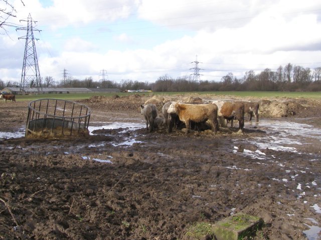
Image: © Jim Champion Taken: 21 Feb 2007
Looking across this field from the stile on Mill Lane. The OS map I have describes this field as a 'gravel tip' - presumably that was prior to its current use as a field for cattle.
Images are licensed for reuse under creativecommons.org/licenses/by-sa/2.0
Image Location
Latitude
50.939631
Longitude
-1.490431