No sign of a wicket
Introduction
The photograph on this page of No sign of a wicket by John Sutton as part of the Geograph project.
The Geograph project started in 2005 with the aim of publishing, organising and preserving representative images for every square kilometre of Great Britain, Ireland and the Isle of Man.

There are currently over 7.5m images from over 14,400 individuals and you can help contribute to the project by visiting https://www.geograph.org.uk
No sign of a wicket
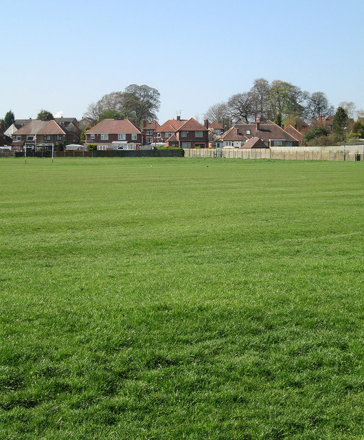
Image: © John Sutton Taken: 1 May 2013
This was once the Forest Fields Grammar School Playing Field, known as Greenwich Avenue or Mill Street. In the summer term the First XI wicket was more or less in the middle of this expanse of grass, the practice nets against the back-garden fences of the houses on Greenwich Avenue.
Images are licensed for reuse under creativecommons.org/licenses/by-sa/2.0
Image Location
Latitude
52.988248
Longitude
-1.191974