Mawbray bombing arrow WW2
Introduction
The photograph on this page of Mawbray bombing arrow WW2 by Robert Matin as part of the Geograph project.
The Geograph project started in 2005 with the aim of publishing, organising and preserving representative images for every square kilometre of Great Britain, Ireland and the Isle of Man.

There are currently over 7.5m images from over 14,400 individuals and you can help contribute to the project by visiting https://www.geograph.org.uk
Mawbray bombing arrow WW2
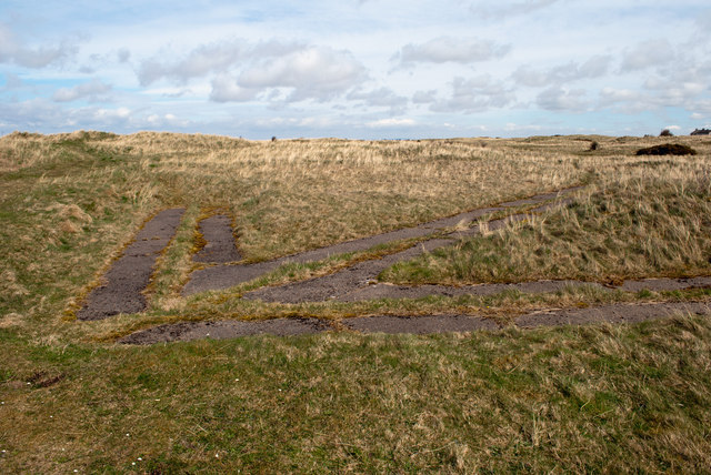
Image: © Robert Matin Taken: 4 May 2013
This arrow was set into the dunes on Mawbray Bank during World War 2 to guide aircraft pilots into the targets set for them in the Solway Firth. Take a look here http://www.users.globalnet.co.uk/~rwbarnes/defence/ranges.htm#brg for more information.
Images are licensed for reuse under creativecommons.org/licenses/by-sa/2.0
Image Location
Latitude
54.814758
Longitude
-3.427393