The Rhondda flows under a railway viaduct, Pontypridd
Introduction
The photograph on this page of The Rhondda flows under a railway viaduct, Pontypridd by Jaggery as part of the Geograph project.
The Geograph project started in 2005 with the aim of publishing, organising and preserving representative images for every square kilometre of Great Britain, Ireland and the Isle of Man.

There are currently over 7.5m images from over 14,400 individuals and you can help contribute to the project by visiting https://www.geograph.org.uk
The Rhondda flows under a railway viaduct, Pontypridd
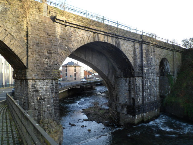
Image: © Jaggery Taken: 12 Jan 2012
The Rhondda flows towards its confluence with the Taff, out of shot about 250 metres from the camera. The viaduct carries the Merthyr Line railway.
Images are licensed for reuse under creativecommons.org/licenses/by-sa/2.0
Image Location
Latitude
51.601406
Longitude
-3.344034