Playground, Ashington
Introduction
The photograph on this page of Playground, Ashington by Simon Carey as part of the Geograph project.
The Geograph project started in 2005 with the aim of publishing, organising and preserving representative images for every square kilometre of Great Britain, Ireland and the Isle of Man.

There are currently over 7.5m images from over 14,400 individuals and you can help contribute to the project by visiting https://www.geograph.org.uk
Playground, Ashington
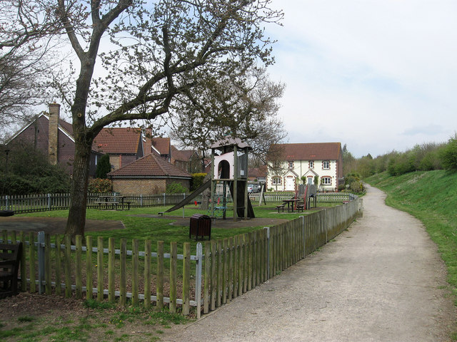
Image: © Simon Carey Taken: 28 Apr 2013
Added as part of the development of the land between London Road, the old course of the A24 and the bypass opened in 1996, which lies beyond the embankment to the right. A public path has also been provided running from the footbridge to Swan House
Images are licensed for reuse under creativecommons.org/licenses/by-sa/2.0
Image Location
Latitude
50.931692
Longitude
-0.388371