Sardis Public Toilets, Pontypridd
Introduction
The photograph on this page of Sardis Public Toilets, Pontypridd by Jaggery as part of the Geograph project.
The Geograph project started in 2005 with the aim of publishing, organising and preserving representative images for every square kilometre of Great Britain, Ireland and the Isle of Man.

There are currently over 7.5m images from over 14,400 individuals and you can help contribute to the project by visiting https://www.geograph.org.uk
Sardis Public Toilets, Pontypridd
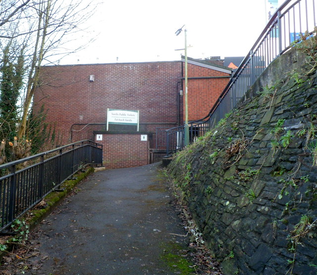
Image: © Jaggery Taken: 12 Jan 2012
Set below road level on the east side of Sardis Road. The Welsh for public toilets shown on the sign is Tai-bach, literally little houses.
Images are licensed for reuse under creativecommons.org/licenses/by-sa/2.0
Image Location
Latitude
51.600709
Longitude
-3.342136