Riding of the Bounds 1
Introduction
The photograph on this page of Riding of the Bounds 1 by Barbara Carr as part of the Geograph project.
The Geograph project started in 2005 with the aim of publishing, organising and preserving representative images for every square kilometre of Great Britain, Ireland and the Isle of Man.

There are currently over 7.5m images from over 14,400 individuals and you can help contribute to the project by visiting https://www.geograph.org.uk
Riding of the Bounds 1
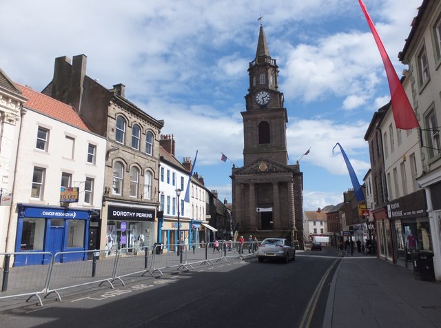
Image: © Barbara Carr Taken: 1 May 2013
Road cleared for approaching horses, with about 45 minutes to go ... see http://berwickbounds.webs.com/historyoftheride.htm
Images are licensed for reuse under creativecommons.org/licenses/by-sa/2.0
Image Location
Latitude
55.769529
Longitude
-2.00364