Earswick: approximate site of former station, 1991
Introduction
The photograph on this page of Earswick: approximate site of former station, 1991 by Ben Brooksbank as part of the Geograph project.
The Geograph project started in 2005 with the aim of publishing, organising and preserving representative images for every square kilometre of Great Britain, Ireland and the Isle of Man.

There are currently over 7.5m images from over 14,400 individuals and you can help contribute to the project by visiting https://www.geograph.org.uk
Earswick: approximate site of former station, 1991
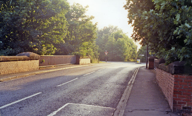
Image: © Ben Brooksbank Taken: 30 Aug 1991
View SW, where the road crosses the course of the former ex-NER York - Market Weighton - Hull line, just east of its junction with the York - Scarborough line. Along with Earswick station the line to Market Weighton had closed from 29/11/65.
Images are licensed for reuse under creativecommons.org/licenses/by-sa/2.0
Image Location
Latitude
53.987527
Longitude
-1.068596