The Boundary Stone
Introduction
The photograph on this page of The Boundary Stone by David Purchase as part of the Geograph project.
The Geograph project started in 2005 with the aim of publishing, organising and preserving representative images for every square kilometre of Great Britain, Ireland and the Isle of Man.

There are currently over 7.5m images from over 14,400 individuals and you can help contribute to the project by visiting https://www.geograph.org.uk
The Boundary Stone
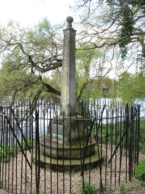
Image: © David Purchase Taken: 26 Apr 2013
This stone was erected in 1909 to mark the division of authority between the Port of London Authority (downstream) and the Thames Conservancy (now the Environment Agency) upstream. It is about 250 metres downstream of Teddington Lock (where the river ceases to be tidal): one might have expected the lock itself to be a more natural division. The Thames Path passes the Boundary Stone.
Images are licensed for reuse under creativecommons.org/licenses/by-sa/2.0
Image Location
Latitude
51.434249
Longitude
-0.327301