The A29 heading north-westwards from the South Armagh village of Tullydonnell
Introduction
The photograph on this page of The A29 heading north-westwards from the South Armagh village of Tullydonnell by Eric Jones as part of the Geograph project.
The Geograph project started in 2005 with the aim of publishing, organising and preserving representative images for every square kilometre of Great Britain, Ireland and the Isle of Man.

There are currently over 7.5m images from over 14,400 individuals and you can help contribute to the project by visiting https://www.geograph.org.uk
The A29 heading north-westwards from the South Armagh village of Tullydonnell
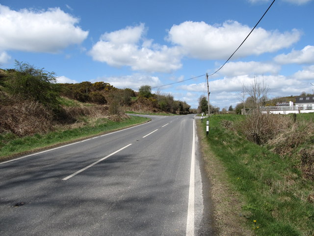
Image: © Eric Jones Taken: 30 Apr 2013
The A29 crosses the whole of Northern Ireland from Drumbilla on the Armagh-Louth border, some 2km SE of Tullydonnell, to Portrush near the Giant's Causeway. At the Border it joins the R177.
Images are licensed for reuse under creativecommons.org/licenses/by-sa/2.0
Image Location
Latitude
54.080267
Longitude
-6.510436