The village green at Trequite
Introduction
The photograph on this page of The village green at Trequite by John Baker as part of the Geograph project.
The Geograph project started in 2005 with the aim of publishing, organising and preserving representative images for every square kilometre of Great Britain, Ireland and the Isle of Man.

There are currently over 7.5m images from over 14,400 individuals and you can help contribute to the project by visiting https://www.geograph.org.uk
The village green at Trequite
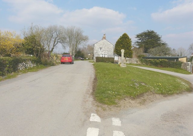
Image: © John Baker Taken: 28 Mar 2013
On my previous visit I took a closer view of Image On this visit I was able to confirm that the house behind is called Rosings.
Images are licensed for reuse under creativecommons.org/licenses/by-sa/2.0
Image Location
Latitude
50.558897
Longitude
-4.784096