Corrugated iron building, Killyleagh (2013)
Introduction
The photograph on this page of Corrugated iron building, Killyleagh (2013) by Albert Bridge as part of the Geograph project.
The Geograph project started in 2005 with the aim of publishing, organising and preserving representative images for every square kilometre of Great Britain, Ireland and the Isle of Man.

There are currently over 7.5m images from over 14,400 individuals and you can help contribute to the project by visiting https://www.geograph.org.uk
Corrugated iron building, Killyleagh (2013)
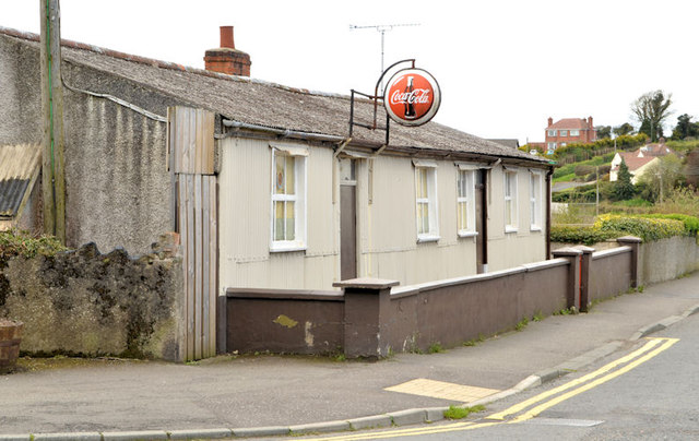
Image: © Albert Bridge Taken: 1 May 2013
See Image (March 2012). The former chip shop remains vacant and for sale.
Images are licensed for reuse under creativecommons.org/licenses/by-sa/2.0
Image Location
Latitude
54.398541
Longitude
-5.648883