Rectory Close
Introduction
The photograph on this page of Rectory Close by Simon Carey as part of the Geograph project.
The Geograph project started in 2005 with the aim of publishing, organising and preserving representative images for every square kilometre of Great Britain, Ireland and the Isle of Man.

There are currently over 7.5m images from over 14,400 individuals and you can help contribute to the project by visiting https://www.geograph.org.uk
Rectory Close
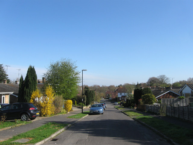
Image: © Simon Carey Taken: 28 Apr 2013
A cul de sac off Rectory Lane built during the 1960s. The area of the estate was once a field called Quagmire Field, according to Ashington's 1847 tithe map, which later became an orchard towards the end of the 19th century.
Images are licensed for reuse under creativecommons.org/licenses/by-sa/2.0
Image Location
Latitude
50.936413
Longitude
-0.391623