Centenary Way footpath
Introduction
The photograph on this page of Centenary Way footpath by Pauline E as part of the Geograph project.
The Geograph project started in 2005 with the aim of publishing, organising and preserving representative images for every square kilometre of Great Britain, Ireland and the Isle of Man.

There are currently over 7.5m images from over 14,400 individuals and you can help contribute to the project by visiting https://www.geograph.org.uk
Centenary Way footpath
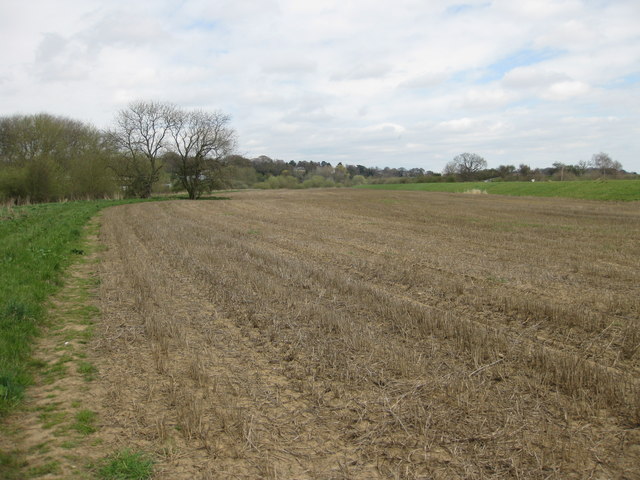
Image: © Pauline E Taken: 28 Apr 2013
To the left is the River Derwent, to the right is the embankment which protects the railway line from flooding.
Images are licensed for reuse under creativecommons.org/licenses/by-sa/2.0
Image Location
Latitude
54.123685
Longitude
-0.814037