Openshaw Community Church
Introduction
The photograph on this page of Openshaw Community Church by Gerald England as part of the Geograph project.
The Geograph project started in 2005 with the aim of publishing, organising and preserving representative images for every square kilometre of Great Britain, Ireland and the Isle of Man.

There are currently over 7.5m images from over 14,400 individuals and you can help contribute to the project by visiting https://www.geograph.org.uk
Openshaw Community Church
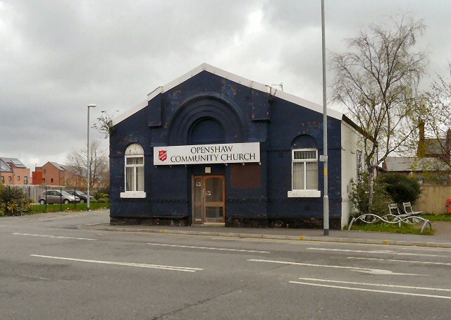
Image: © Gerald England Taken: 29 Apr 2013
The church on the corner of Toxteth Street and Fairfield Road is the home of the Salvation Army Eden Project. http://web.archive.org/web/20130114035414/http://www.edenopenshaw.org/about/
Images are licensed for reuse under creativecommons.org/licenses/by-sa/2.0
Image Location
Latitude
53.47313
Longitude
-2.163272