Mill Road
Introduction
The photograph on this page of Mill Road by Barbara Carr as part of the Geograph project.
The Geograph project started in 2005 with the aim of publishing, organising and preserving representative images for every square kilometre of Great Britain, Ireland and the Isle of Man.

There are currently over 7.5m images from over 14,400 individuals and you can help contribute to the project by visiting https://www.geograph.org.uk
Mill Road
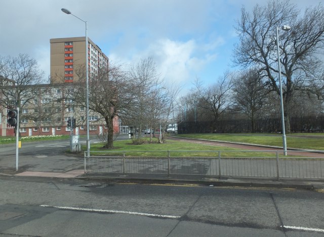
Image: © Barbara Carr Taken: 18 Apr 2013
Looking across the A814 (which to the west is known as Glasgow Road, and to the east Dumbarton Road) to Mill Road, which leads into residential areas of Whitecrook and Yoker.
Images are licensed for reuse under creativecommons.org/licenses/by-sa/2.0
Image Location
Latitude
55.891495
Longitude
-4.386859