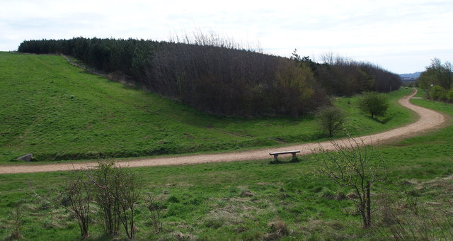
Mansfield Woodhouse Area NG19, Notts
Introduction
The photograph on this page of Mansfield Woodhouse Area NG19, Notts by David Hallam-Jones as part of the Geograph project.
The Geograph project started in 2005 with the aim of publishing, organising and preserving representative images for every square kilometre of Great Britain, Ireland and the Isle of Man.
There are currently over 7.5m images from over 14,400 individuals and you can help contribute to the project by visiting https://www.geograph.org.uk

Image: © David Hallam-Jones Taken: 28 Apr 2013
This section of a footpath skirts a site now known as Oxclose Wood. The area was landscaped on a colliery spoil site that was previously part of Mansfield Woodhouse's Sherwood Colliery. Walkers following the path into the distance have the option of finishing at the side of the A6191 (Chesterfield Road) in the Bull Farm suburb, whereas by turning left walkers can either continue on until they reach the village of Mansfield Woodhouse or within a few minutes they can turn off this particular path and join a different part of this particular "Mansfield Woodhouse Heritage Trail" and walk towards Pleasley Vale or Pleasley Hill. Oxclose Wood, as this area is now known, was landscaped on a colliery spoil site that was once part of Mansfield Woodhouse's Sherwood Colliery.

