Aber
Introduction
The photograph on this page of Aber by Lairich Rig as part of the Geograph project.
The Geograph project started in 2005 with the aim of publishing, organising and preserving representative images for every square kilometre of Great Britain, Ireland and the Isle of Man.

There are currently over 7.5m images from over 14,400 individuals and you can help contribute to the project by visiting https://www.geograph.org.uk
Aber
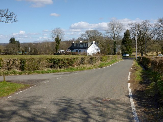
Image: © Lairich Rig Taken: 19 Apr 2013
This is a view from what used to be known as the Image Simon Taylor, in his chapter in the book "Changing Identities, Ancient Roots", points out that the place-name Aber "looks deceptively British". The British element "Aber" refers to a confluence, but since that element is otherwise unknown in place-names in this area, the Aber shown in my picture is thought (see the work just cited) to be named, instead, from the Gaelic "eabar" (pool, puddle, marsh, mire, etc.), on account on the extensive bog nearby (centred on Image). There is also an Aber Isle (Image); the isle is not far offshore from Aber itself, and presumably was named after it.
Images are licensed for reuse under creativecommons.org/licenses/by-sa/2.0
Image Location
Latitude
56.050779
Longitude
-4.529991