An old track south of Church Aston
Introduction
The photograph on this page of An old track south of Church Aston by Richard Law as part of the Geograph project.
The Geograph project started in 2005 with the aim of publishing, organising and preserving representative images for every square kilometre of Great Britain, Ireland and the Isle of Man.

There are currently over 7.5m images from over 14,400 individuals and you can help contribute to the project by visiting https://www.geograph.org.uk
An old track south of Church Aston
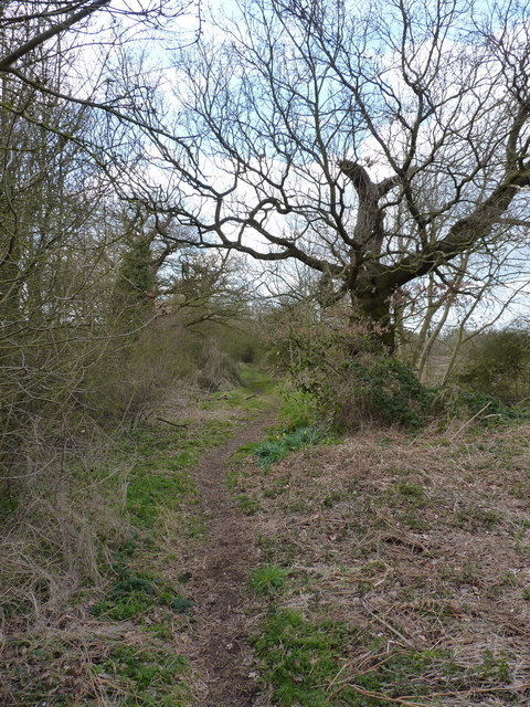
Image: © Richard Law Taken: 4 Apr 2013
The maps suggest that this was one end of an agricultural track (not necessarily a right of way) between the village and Little Hales Manor farm.
Images are licensed for reuse under creativecommons.org/licenses/by-sa/2.0
Image Location
Latitude
52.753962
Longitude
-2.380293