Farmland near Pirbright
Introduction
The photograph on this page of Farmland near Pirbright by Alan Hunt as part of the Geograph project.
The Geograph project started in 2005 with the aim of publishing, organising and preserving representative images for every square kilometre of Great Britain, Ireland and the Isle of Man.

There are currently over 7.5m images from over 14,400 individuals and you can help contribute to the project by visiting https://www.geograph.org.uk
Farmland near Pirbright
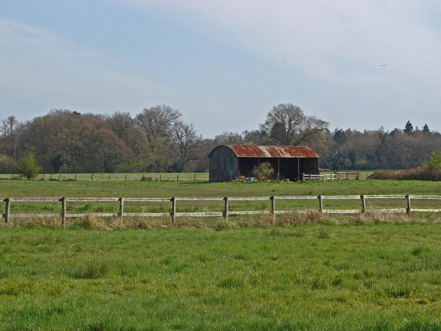
Image: © Alan Hunt Taken: 28 Apr 2013
Looking across the farmland between the Ash Road and Pirbright Village.
Images are licensed for reuse under creativecommons.org/licenses/by-sa/2.0
Image Location
Latitude
51.281827
Longitude
-0.639839