Doggetts Way
Introduction
The photograph on this page of Doggetts Way by Ian Capper as part of the Geograph project.
The Geograph project started in 2005 with the aim of publishing, organising and preserving representative images for every square kilometre of Great Britain, Ireland and the Isle of Man.

There are currently over 7.5m images from over 14,400 individuals and you can help contribute to the project by visiting https://www.geograph.org.uk
Doggetts Way
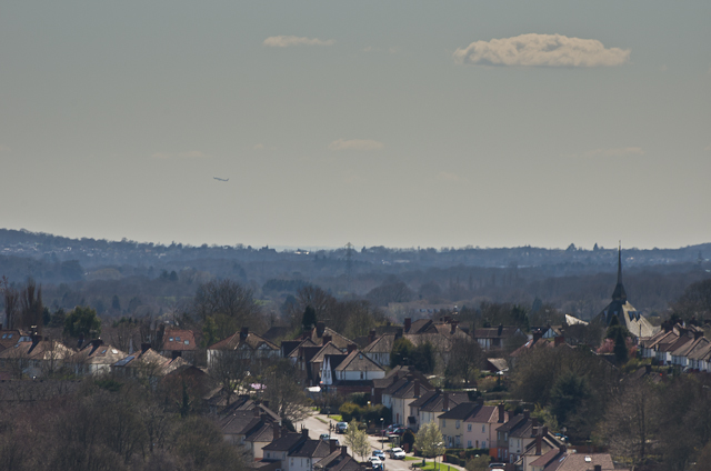
Image: © Ian Capper Taken: 20 Apr 2013
A telephoto view of Doggetts Way in the St Stephens area of St Albans. On the right is St Bartholomew's RC Church. In the far distance an aeroplane can be seen having just taken off from Heathrow Airport
Images are licensed for reuse under creativecommons.org/licenses/by-sa/2.0
Image Location
Latitude
51.740128
Longitude
-0.343881