The lade near Rosshead
Introduction
The photograph on this page of The lade near Rosshead by Lairich Rig as part of the Geograph project.
The Geograph project started in 2005 with the aim of publishing, organising and preserving representative images for every square kilometre of Great Britain, Ireland and the Isle of Man.

There are currently over 7.5m images from over 14,400 individuals and you can help contribute to the project by visiting https://www.geograph.org.uk
The lade near Rosshead
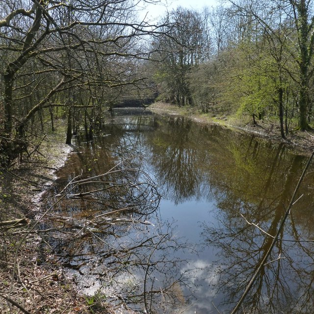
Image: © Lairich Rig Taken: 19 Apr 2013
See also Image and Image The lade is depicted on the first-edition OS map (c.1860), and would, at that time, have served the Levenfield Works. These were later amalgamated with the Croftengea Works, which were just to the south of the Levenfield Works, to form the Alexandria Works: see Image
Images are licensed for reuse under creativecommons.org/licenses/by-sa/2.0
Image Location
Latitude
55.997495
Longitude
-4.577028