Approaching Ilfracombe by rail, 1969
Introduction
The photograph on this page of Approaching Ilfracombe by rail, 1969 by Robin Webster as part of the Geograph project.
The Geograph project started in 2005 with the aim of publishing, organising and preserving representative images for every square kilometre of Great Britain, Ireland and the Isle of Man.

There are currently over 7.5m images from over 14,400 individuals and you can help contribute to the project by visiting https://www.geograph.org.uk
Approaching Ilfracombe by rail, 1969
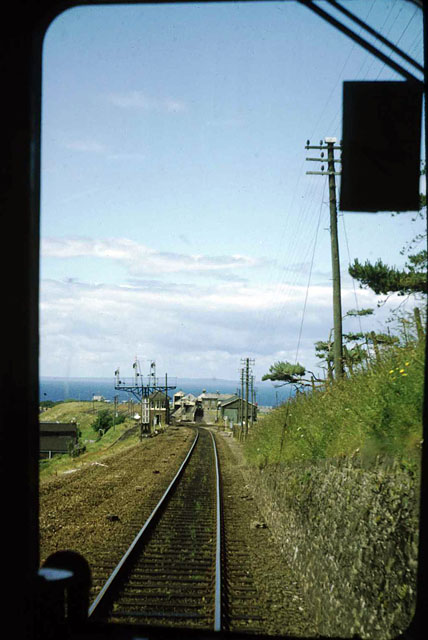
Image: © Robin Webster Taken: Unknown
Viewed through the front window of a DMU. The line and station are now gone, the station area built over.
Images are licensed for reuse under creativecommons.org/licenses/by-sa/2.0
Image Location
Latitude
51.199876
Longitude
-4.127728