Gleneagles 4x4 track
Introduction
The photograph on this page of Gleneagles 4x4 track by Richard Webb as part of the Geograph project.
The Geograph project started in 2005 with the aim of publishing, organising and preserving representative images for every square kilometre of Great Britain, Ireland and the Isle of Man.

There are currently over 7.5m images from over 14,400 individuals and you can help contribute to the project by visiting https://www.geograph.org.uk
Gleneagles 4x4 track
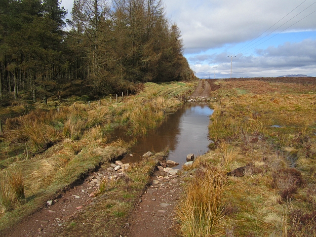
Image: © Richard Webb Taken: 24 Apr 2013
Offroad driving route at Gleneagles with a deep water splash and rocky exit to the north. I went through the bog.
Images are licensed for reuse under creativecommons.org/licenses/by-sa/2.0
Image Location
Latitude
56.282972
Longitude
-3.785491