Fiddler's Ferry Level Crossing
Introduction
The photograph on this page of Fiddler's Ferry Level Crossing by David Dixon as part of the Geograph project.
The Geograph project started in 2005 with the aim of publishing, organising and preserving representative images for every square kilometre of Great Britain, Ireland and the Isle of Man.

There are currently over 7.5m images from over 14,400 individuals and you can help contribute to the project by visiting https://www.geograph.org.uk
Fiddler's Ferry Level Crossing
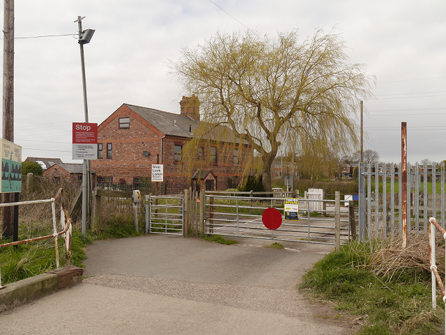
Image: © David Dixon Taken: 23 Apr 2013
Between 1856 and 1950, the house on the other side of the crossing was a railway station which enabled day-trippers to come to watch the boats on the River Mersey, and to visit the nearby Ferry Tavern (Image]).
Images are licensed for reuse under creativecommons.org/licenses/by-sa/2.0
Image Location
Latitude
53.375794
Longitude
-2.65713