Farmland by the A405
Introduction
The photograph on this page of Farmland by the A405 by Fernweh as part of the Geograph project.
The Geograph project started in 2005 with the aim of publishing, organising and preserving representative images for every square kilometre of Great Britain, Ireland and the Isle of Man.

There are currently over 7.5m images from over 14,400 individuals and you can help contribute to the project by visiting https://www.geograph.org.uk
Farmland by the A405
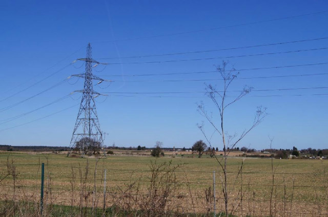
Image: © Fernweh Taken: 20 Apr 2013
The powerline runs from Elstree to Dunstable, just outside Luton.
Images are licensed for reuse under creativecommons.org/licenses/by-sa/2.0
Image Location


Leaflet Map data © OpenStreetMap
Latitude
51.717145
Longitude
-0.372183