National Cycle Network Route 4 near Haverfordwest
Introduction
The photograph on this page of National Cycle Network Route 4 near Haverfordwest by Simon Mortimer as part of the Geograph project.
The Geograph project started in 2005 with the aim of publishing, organising and preserving representative images for every square kilometre of Great Britain, Ireland and the Isle of Man.

There are currently over 7.5m images from over 14,400 individuals and you can help contribute to the project by visiting https://www.geograph.org.uk
National Cycle Network Route 4 near Haverfordwest
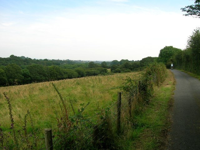
Image: © Simon Mortimer Taken: 11 Aug 2012
Looking west along the valley of Merlin's Brook towards Haverfordwest. The cycle path runs parallel to the Haverfordwest to Milford Haven railway on this section.
Images are licensed for reuse under creativecommons.org/licenses/by-sa/2.0
Image Location
Latitude
51.783038
Longitude
-4.998651