Farmland, Sunninghill Park
Introduction
The photograph on this page of Farmland, Sunninghill Park by Alan Hunt as part of the Geograph project.
The Geograph project started in 2005 with the aim of publishing, organising and preserving representative images for every square kilometre of Great Britain, Ireland and the Isle of Man.

There are currently over 7.5m images from over 14,400 individuals and you can help contribute to the project by visiting https://www.geograph.org.uk
Farmland, Sunninghill Park
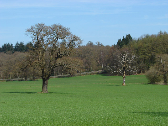
Image: © Alan Hunt Taken: 23 Apr 2013
The field to the north of Paddock Wood with the B383 marked by the fence and South Forest of Windsor Great Park beyond.
Images are licensed for reuse under creativecommons.org/licenses/by-sa/2.0
Image Location
Latitude
51.428025
Longitude
-0.654059