Lane to Upcott Barton
Introduction
The photograph on this page of Lane to Upcott Barton by Derek Harper as part of the Geograph project.
The Geograph project started in 2005 with the aim of publishing, organising and preserving representative images for every square kilometre of Great Britain, Ireland and the Isle of Man.

There are currently over 7.5m images from over 14,400 individuals and you can help contribute to the project by visiting https://www.geograph.org.uk
Lane to Upcott Barton
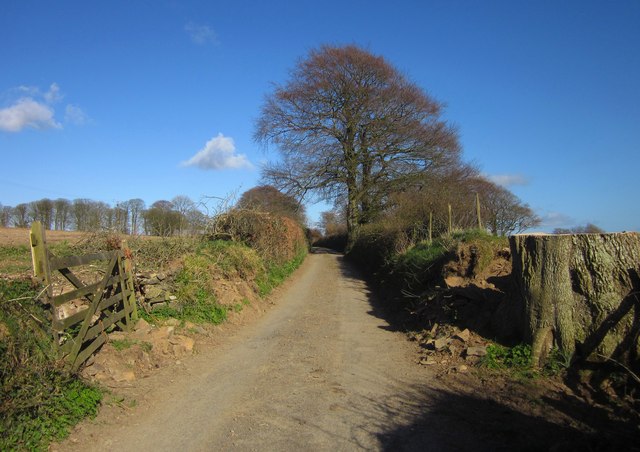
Image: © Derek Harper Taken: 19 Apr 2013
A large tree has been felled on the right. Image] was taken from further along the lane, looking to the right.
Images are licensed for reuse under creativecommons.org/licenses/by-sa/2.0
Image Location
Latitude
50.921045
Longitude
-4.049243