Birdingbury-Dismantled Railway
Introduction
The photograph on this page of Birdingbury-Dismantled Railway by Ian Rob as part of the Geograph project.
The Geograph project started in 2005 with the aim of publishing, organising and preserving representative images for every square kilometre of Great Britain, Ireland and the Isle of Man.

There are currently over 7.5m images from over 14,400 individuals and you can help contribute to the project by visiting https://www.geograph.org.uk
Birdingbury-Dismantled Railway
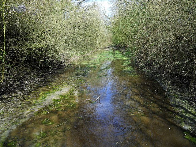
Image: © Ian Rob Taken: 23 Apr 2013
The cutting south of the in filled bridge near Bondon Farm is flooded at this point.
Images are licensed for reuse under creativecommons.org/licenses/by-sa/2.0
Image Location
Latitude
52.315385
Longitude
-1.375329