Towell Meadow
Introduction
The photograph on this page of Towell Meadow by Derek Harper as part of the Geograph project.
The Geograph project started in 2005 with the aim of publishing, organising and preserving representative images for every square kilometre of Great Britain, Ireland and the Isle of Man.

There are currently over 7.5m images from over 14,400 individuals and you can help contribute to the project by visiting https://www.geograph.org.uk
Towell Meadow
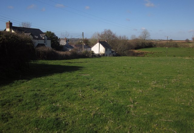
Image: © Derek Harper Taken: 19 Apr 2013
Much of the course of the short Beaford Footpath 17 is across this field between Bond Street (houses on the left) and Towell Lane.
Images are licensed for reuse under creativecommons.org/licenses/by-sa/2.0
Image Location
Latitude
50.916833
Longitude
-4.05859