Boulders in Langditch Lane, Newport
Introduction
The photograph on this page of Boulders in Langditch Lane, Newport by Jaggery as part of the Geograph project.
The Geograph project started in 2005 with the aim of publishing, organising and preserving representative images for every square kilometre of Great Britain, Ireland and the Isle of Man.

There are currently over 7.5m images from over 14,400 individuals and you can help contribute to the project by visiting https://www.geograph.org.uk
Boulders in Langditch Lane, Newport
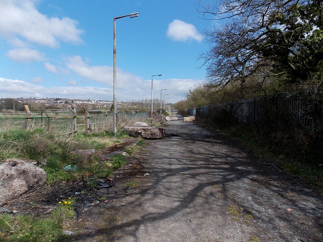
Image: © Jaggery Taken: 23 Apr 2013
The road behind the camera is blocked http://www.geograph.org.uk/photo/3425862 and there are boulders in the road ahead. Langditch Lane formerly led to a sports club, now demolished. A view http://www.geograph.org.uk/photo/1580568 in 2009 was taken before the boulders were in place.
Images are licensed for reuse under creativecommons.org/licenses/by-sa/2.0
Image Location
Latitude
51.580242
Longitude
-2.941185