Approaching Jacobstowe from the east-northeast
Introduction
The photograph on this page of Approaching Jacobstowe from the east-northeast by John Baker as part of the Geograph project.
The Geograph project started in 2005 with the aim of publishing, organising and preserving representative images for every square kilometre of Great Britain, Ireland and the Isle of Man.

There are currently over 7.5m images from over 14,400 individuals and you can help contribute to the project by visiting https://www.geograph.org.uk
Approaching Jacobstowe from the east-northeast
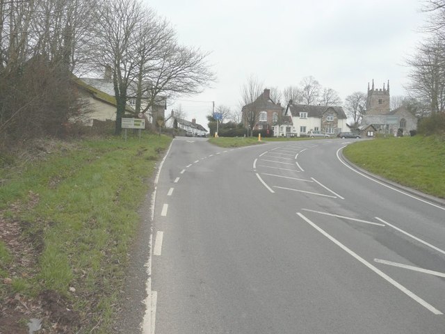
Image: © John Baker Taken: 26 Mar 2013
Along the A3072 near to the junction with the B3216 (seen here heading left). The church is that of St James, while to its left is the house called The Old School Room.
Images are licensed for reuse under creativecommons.org/licenses/by-sa/2.0
Image Location
Latitude
50.796515
Longitude
-4.006042