Copse with Issues
Introduction
The photograph on this page of Copse with Issues by Andy Farrington as part of the Geograph project.
The Geograph project started in 2005 with the aim of publishing, organising and preserving representative images for every square kilometre of Great Britain, Ireland and the Isle of Man.

There are currently over 7.5m images from over 14,400 individuals and you can help contribute to the project by visiting https://www.geograph.org.uk
Copse with Issues
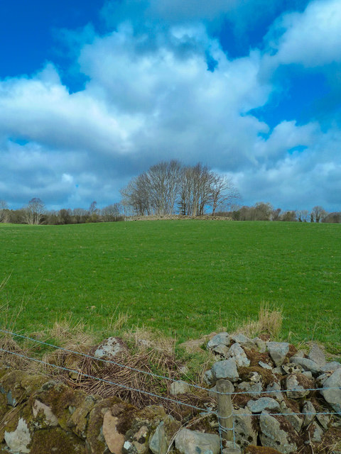
Image: © Andy Farrington Taken: 23 Apr 2013
South of Blackpark Farm, OS mapping describes the wooded area as having issues which I had to look up (A point where water issues from the ground, eg. a spring), seen here from the side of the A75.
Images are licensed for reuse under creativecommons.org/licenses/by-sa/2.0
Image Location
Latitude
54.948188
Longitude
-4.528317