Access road to Pontlottyn railway station
Introduction
The photograph on this page of Access road to Pontlottyn railway station by Jaggery as part of the Geograph project.
The Geograph project started in 2005 with the aim of publishing, organising and preserving representative images for every square kilometre of Great Britain, Ireland and the Isle of Man.

There are currently over 7.5m images from over 14,400 individuals and you can help contribute to the project by visiting https://www.geograph.org.uk
Access road to Pontlottyn railway station
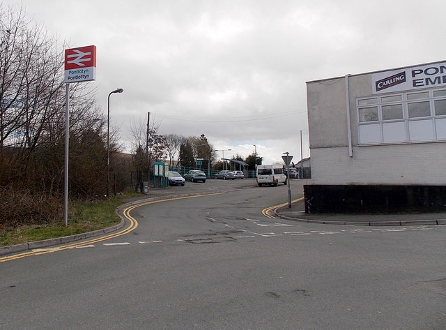
Image: © Jaggery Taken: 19 Apr 2013
Viewed from Stuart Street looking towards the small station car park in Picton Street. The railway station name sign shows Pontlotyn and Pontlottyn. Pontlotyn is a rare usage of the Welsh language name of the village. The village boundary sign http://www.geograph.org.uk/photo/3423823 shows only the English form Pontlottyn. Pontlottyn Empire Club http://www.geograph.org.uk/photo/3424687 is on the right.
Images are licensed for reuse under creativecommons.org/licenses/by-sa/2.0
Image Location
Latitude
51.746534
Longitude
-3.279533