The Basingstoke Canal
Introduction
The photograph on this page of The Basingstoke Canal by Alan Hunt as part of the Geograph project.
The Geograph project started in 2005 with the aim of publishing, organising and preserving representative images for every square kilometre of Great Britain, Ireland and the Isle of Man.

There are currently over 7.5m images from over 14,400 individuals and you can help contribute to the project by visiting https://www.geograph.org.uk
The Basingstoke Canal
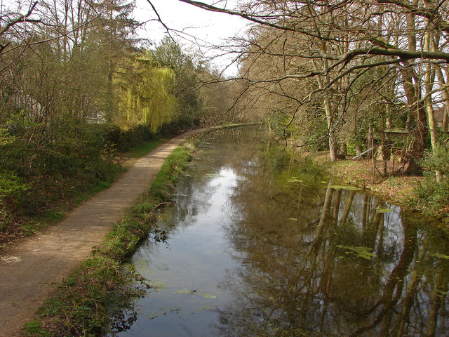
Image: © Alan Hunt Taken: 22 Apr 2013
The canal from the footbridge which provides a walkway from Hermitage Wood Crescent on the Heritage Estate to St John's Lye to the south of the canal.
Images are licensed for reuse under creativecommons.org/licenses/by-sa/2.0
Image Location
Latitude
51.308547
Longitude
-0.602751