Worcester & Birmingham Canal north of St. George's Lane North, Worcester
Introduction
The photograph on this page of Worcester & Birmingham Canal north of St. George's Lane North, Worcester by P L Chadwick as part of the Geograph project.
The Geograph project started in 2005 with the aim of publishing, organising and preserving representative images for every square kilometre of Great Britain, Ireland and the Isle of Man.

There are currently over 7.5m images from over 14,400 individuals and you can help contribute to the project by visiting https://www.geograph.org.uk
Worcester & Birmingham Canal north of St. George's Lane North, Worcester
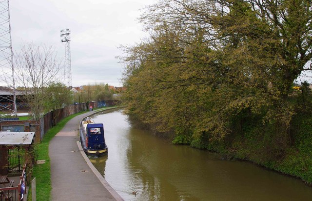
Image: © P L Chadwick Taken: 22 Apr 2013
Photographed from the bridge carrying St. George's Lane North over the canal. In the bottom left corner is part of the beer garden of the Cavalier, a canalside pub. Past that is the St. George's Lane ground of Worcester City Football Club. In a few days time this will close and eventually be demolished for housing. The club will ground share with Kidderminster Harriers at Kidderminster for a year or so, in the hope that eventually they can return to Worcester.
Images are licensed for reuse under creativecommons.org/licenses/by-sa/2.0
Image Location
Latitude
52.205707
Longitude
-2.221356