Old Cut Mark on Edwinstowe Church
Introduction
The photograph on this page of Old Cut Mark on Edwinstowe Church by Brian Westlake as part of the Geograph project.
The Geograph project started in 2005 with the aim of publishing, organising and preserving representative images for every square kilometre of Great Britain, Ireland and the Isle of Man.

There are currently over 7.5m images from over 14,400 individuals and you can help contribute to the project by visiting https://www.geograph.org.uk
Old Cut Mark on Edwinstowe Church
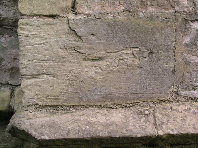
Image: © Brian Westlake Taken: 17 Sep 2012
This mark on a buttress at the SW angle of the tower is not listed on the Ordnance Survey database, but one on the NW angle is (see http://www.geograph.org.uk/photo/3423951 ).
Images are licensed for reuse under creativecommons.org/licenses/by-sa/2.0
Image Location
Latitude
53.195789
Longitude
-1.065933