Ochiltree from the southwest
Introduction
The photograph on this page of Ochiltree from the southwest by M J Richardson as part of the Geograph project.
The Geograph project started in 2005 with the aim of publishing, organising and preserving representative images for every square kilometre of Great Britain, Ireland and the Isle of Man.

There are currently over 7.5m images from over 14,400 individuals and you can help contribute to the project by visiting https://www.geograph.org.uk
Ochiltree from the southwest
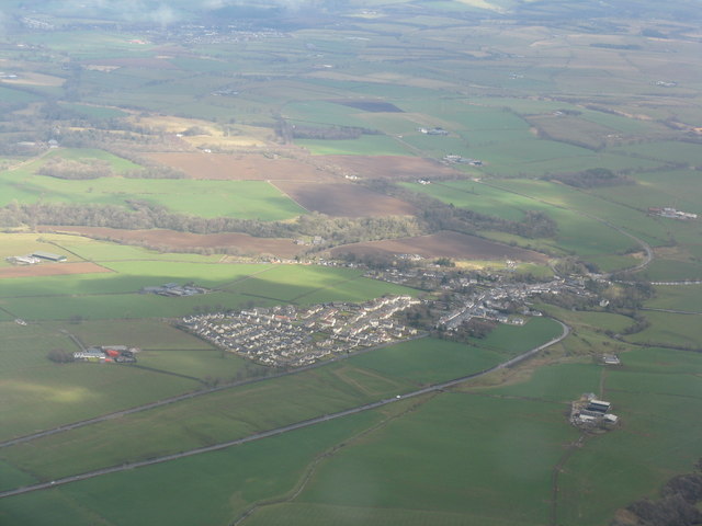
Image: © M J Richardson Taken: 21 Apr 2013
Showing the modern expansion of the village from the core at the junction of Lugar Water and Burnock Water. The farm to the left, with red-roofed barn, is Watston, and that to the right is Findlayston.
Images are licensed for reuse under creativecommons.org/licenses/by-sa/2.0
Image Location
Latitude
55.459042
Longitude
-4.370464