Flats
Introduction
The photograph on this page of Flats by Paul McIlroy as part of the Geograph project.
The Geograph project started in 2005 with the aim of publishing, organising and preserving representative images for every square kilometre of Great Britain, Ireland and the Isle of Man.

There are currently over 7.5m images from over 14,400 individuals and you can help contribute to the project by visiting https://www.geograph.org.uk
Flats
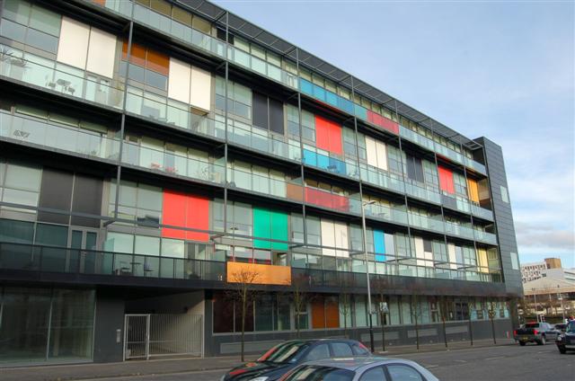
Image: © Paul McIlroy Taken: 18 Feb 2007
Block of flats and offices situated at the corner of Port Dundas Road and Cowcaddens Road.
Images are licensed for reuse under creativecommons.org/licenses/by-sa/2.0
Image Location


Leaflet Map data © OpenStreetMap
Latitude
55.866512
Longitude
-4.253304