View of a former lake system in Wanstead Park by Blake Hall Road
Introduction
The photograph on this page of View of a former lake system in Wanstead Park by Blake Hall Road by Robert Lamb as part of the Geograph project.
The Geograph project started in 2005 with the aim of publishing, organising and preserving representative images for every square kilometre of Great Britain, Ireland and the Isle of Man.

There are currently over 7.5m images from over 14,400 individuals and you can help contribute to the project by visiting https://www.geograph.org.uk
View of a former lake system in Wanstead Park by Blake Hall Road
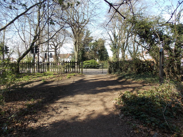
Image: © Robert Lamb Taken: 21 Apr 2013
Looking east.
Images are licensed for reuse under creativecommons.org/licenses/by-sa/2.0
Image Location
Latitude
51.566106
Longitude
0.024689