Walthambury Brook
Introduction
The photograph on this page of Walthambury Brook by Paul Franks as part of the Geograph project.
The Geograph project started in 2005 with the aim of publishing, organising and preserving representative images for every square kilometre of Great Britain, Ireland and the Isle of Man.

There are currently over 7.5m images from over 14,400 individuals and you can help contribute to the project by visiting https://www.geograph.org.uk
Walthambury Brook
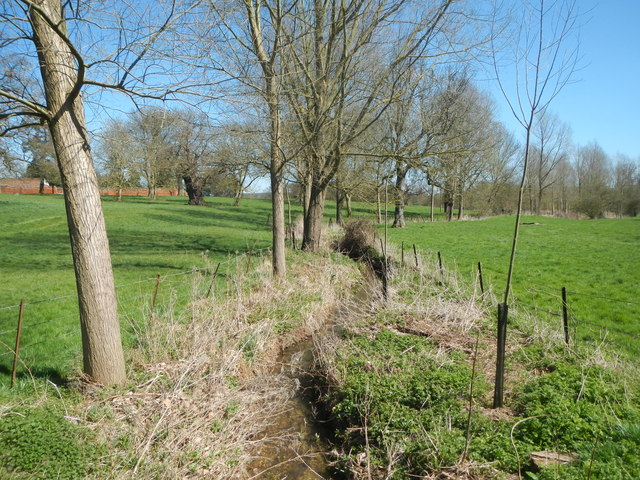
Image: © Paul Franks Taken: 20 Apr 2013
The brook flows through Langleys Park. This view is looking downstream from the public footpath through the park, about 750 metres above its confluence with the River Chelmer.
Images are licensed for reuse under creativecommons.org/licenses/by-sa/2.0
Image Location
Latitude
51.794364
Longitude
0.461413