Harwood Terrace
Introduction
The photograph on this page of Harwood Terrace by Martin Addison as part of the Geograph project.
The Geograph project started in 2005 with the aim of publishing, organising and preserving representative images for every square kilometre of Great Britain, Ireland and the Isle of Man.

There are currently over 7.5m images from over 14,400 individuals and you can help contribute to the project by visiting https://www.geograph.org.uk
Harwood Terrace
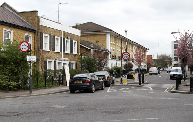
Image: © Martin Addison Taken: 19 Apr 2013
Forming part of a handy rat-run to the King's Road, the entrance is width restricted to discourage large vehicles.
Images are licensed for reuse under creativecommons.org/licenses/by-sa/2.0
Image Location
Latitude
51.476636
Longitude
-0.190244