Ruined steading
Introduction
The photograph on this page of Ruined steading by Richard Webb as part of the Geograph project.
The Geograph project started in 2005 with the aim of publishing, organising and preserving representative images for every square kilometre of Great Britain, Ireland and the Isle of Man.

There are currently over 7.5m images from over 14,400 individuals and you can help contribute to the project by visiting https://www.geograph.org.uk
Ruined steading
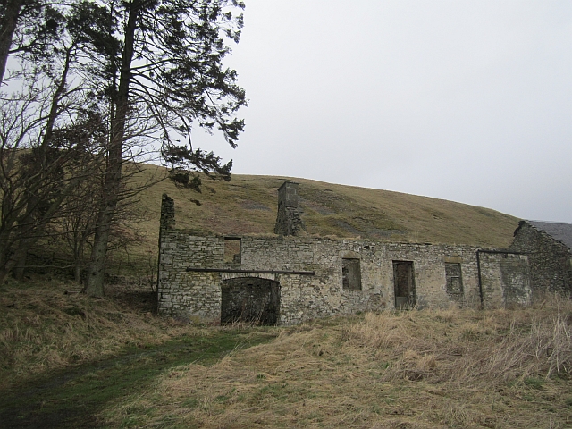
Image: © Richard Webb Taken: 18 Apr 2013
There has been some house building nearby and the steading may one day be converted.
Images are licensed for reuse under creativecommons.org/licenses/by-sa/2.0
Image Location
Latitude
55.51784
Longitude
-3.060904