Gate leading to a track to the Folly Tower NE of Pontypool
Introduction
The photograph on this page of Gate leading to a track to the Folly Tower NE of Pontypool by Jaggery as part of the Geograph project.
The Geograph project started in 2005 with the aim of publishing, organising and preserving representative images for every square kilometre of Great Britain, Ireland and the Isle of Man.

There are currently over 7.5m images from over 14,400 individuals and you can help contribute to the project by visiting https://www.geograph.org.uk
Gate leading to a track to the Folly Tower NE of Pontypool
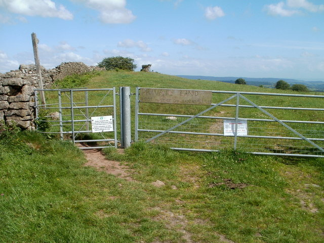
Image: © Jaggery Taken: 7 Jun 2011
Viewed from Folly Lane. The 300 metre long track leads to this folly tower. http://www.geograph.org.uk/photo/3419691 A Torfaen County Borough Council notice on the gate states: Public footpath only. Private land, please keep dogs on a lead when stock is in field.
Images are licensed for reuse under creativecommons.org/licenses/by-sa/2.0
Image Location
Latitude
51.718096
Longitude
-3.025399