Track and Bedwyn Isaf
Introduction
The photograph on this page of Track and Bedwyn Isaf by Jonathan Wilkins as part of the Geograph project.
The Geograph project started in 2005 with the aim of publishing, organising and preserving representative images for every square kilometre of Great Britain, Ireland and the Isle of Man.

There are currently over 7.5m images from over 14,400 individuals and you can help contribute to the project by visiting https://www.geograph.org.uk
Track and Bedwyn Isaf
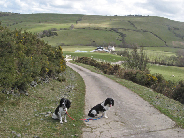
Image: © Jonathan Wilkins Taken: 19 Apr 2013
A well-maintained concrete road leading to Bedwyn Isaf carries a public footpath. On the horizon in the right of the image is Pen y Mwdwl (Image). The translation of 'mwdwl' as 'haycock' does not seem very apt from this direction.
Images are licensed for reuse under creativecommons.org/licenses/by-sa/2.0
Image Location
Latitude
53.193435
Longitude
-3.622184