Sharp bend in Greenwood Road, Bakersfield
Introduction
The photograph on this page of Sharp bend in Greenwood Road, Bakersfield by Richard Vince as part of the Geograph project.
The Geograph project started in 2005 with the aim of publishing, organising and preserving representative images for every square kilometre of Great Britain, Ireland and the Isle of Man.

There are currently over 7.5m images from over 14,400 individuals and you can help contribute to the project by visiting https://www.geograph.org.uk
Sharp bend in Greenwood Road, Bakersfield
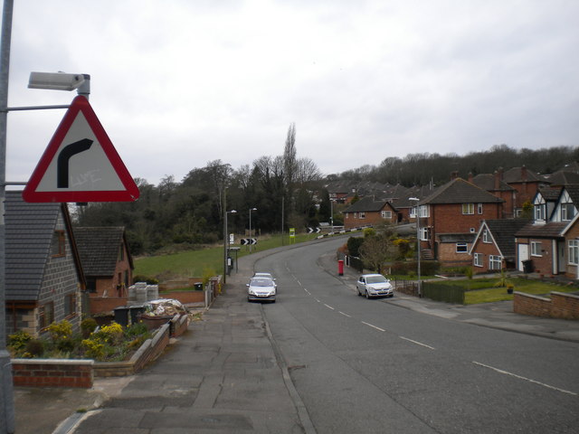
Image: © Richard Vince Taken: 13 Apr 2013
Travelling west, as Greenwood Road crosses into Nottingham it dips and then bends sharply near the eastern extremity of Colwick Woods. From this distance the angle of the bend looks very similar to the angle on the warning sign. The main bus service here, Nottingham City Transport route 43, serves this part of Bakersfield with a unidirectional loop, meaning that the bus shelter just before the bend is now virtually disused (according to the timetable on the bus stop, it gets two buses a week).
Images are licensed for reuse under creativecommons.org/licenses/by-sa/2.0
Image Location
Latitude
52.957078
Longitude
-1.095349