East end of Mays Avenue, Bakersfield
Introduction
The photograph on this page of East end of Mays Avenue, Bakersfield by Richard Vince as part of the Geograph project.
The Geograph project started in 2005 with the aim of publishing, organising and preserving representative images for every square kilometre of Great Britain, Ireland and the Isle of Man.

There are currently over 7.5m images from over 14,400 individuals and you can help contribute to the project by visiting https://www.geograph.org.uk
East end of Mays Avenue, Bakersfield
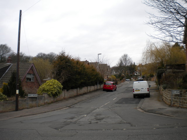
Image: © Richard Vince Taken: 13 Apr 2013
At its eastern end, Mays Avenue bends southwards to meet Greenwood Road (foreground).
Images are licensed for reuse under creativecommons.org/licenses/by-sa/2.0
Image Location
Latitude
52.957524
Longitude
-1.094893